

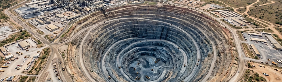
Mining
Aerial Photogrammetric Mapping
-
Generation of high-resolution georeferenced orthomosaics, 3D models, digital surface and terrain models (DSM/DTM), contour lines and point clouds, with centimeter precision, with deliverables ready for mining software.

Volumetric Calculation
-
Precise measurement of ore and aggregate volumes, fast and auditable inventory control, with reduced human error and reports for audits and production control.

Environmental Monitoring
-
Environmental impact audits, environmental risk analyses, monitoring of tailings dams, monitoring of surrounding vegetation, monitoring of mining areas, and support for the HSE team.

Mineral Prospecting
-
Hyperspectral, aeromagnetic, and LiDAR mapping for the identification of mineral signatures, geological anomalies, and areas of interest, promoting the early detection of minerals such as iron, gold, copper, manganese, rare earths, kimberlite, and others.

Security
Implementation of autonomous systems for 24/7 surveillance.
Automated detection and alerting for intrusions and unauthorized activities.
Real-time remote monitoring.

Inspections
-
Visual and thermographic inspections of equipment, traffic lanes, slopes, access roads, silos, processing plants, electrical substations, transformers and high-voltage lines, as well as generators.
